-40%
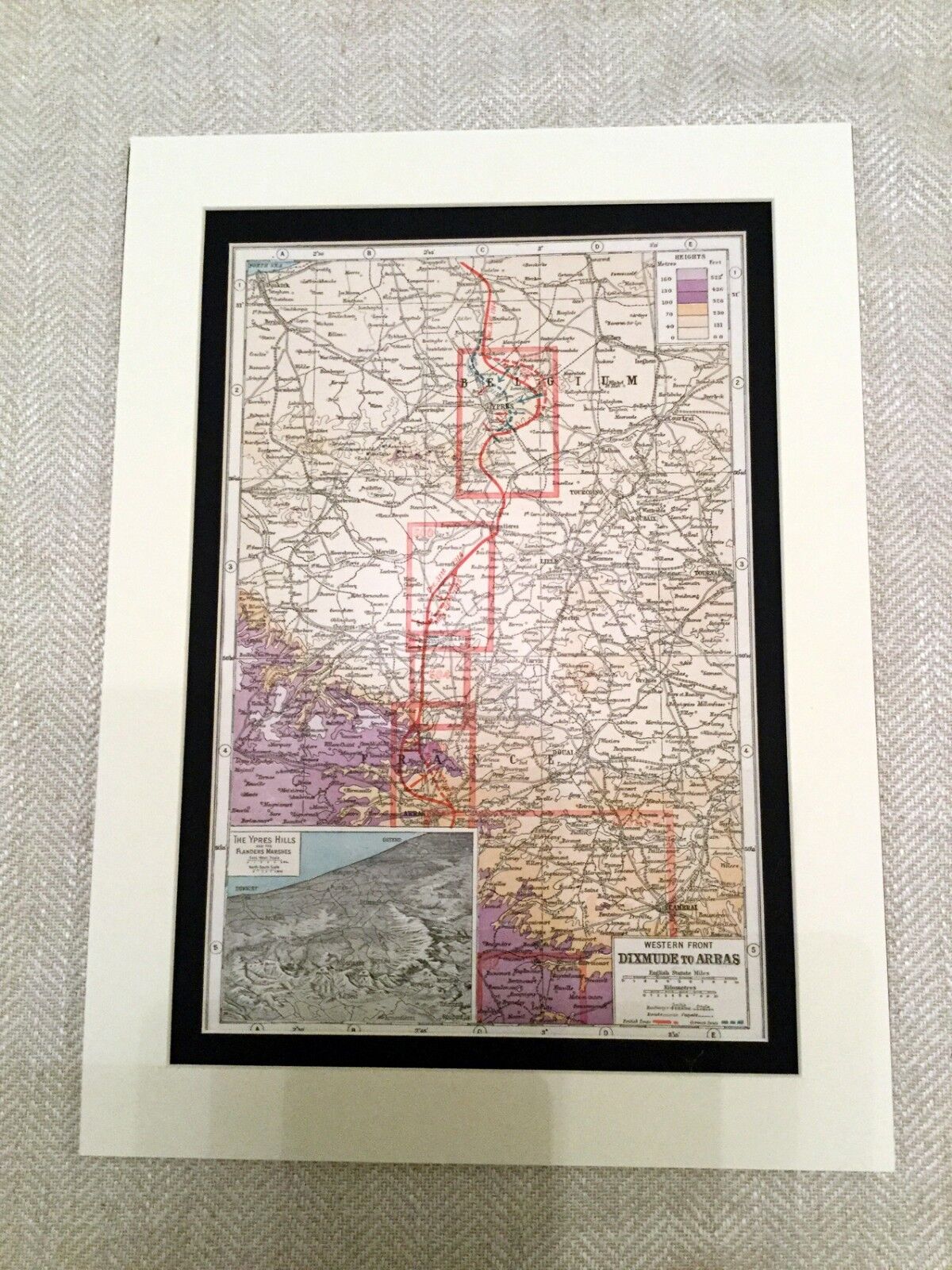
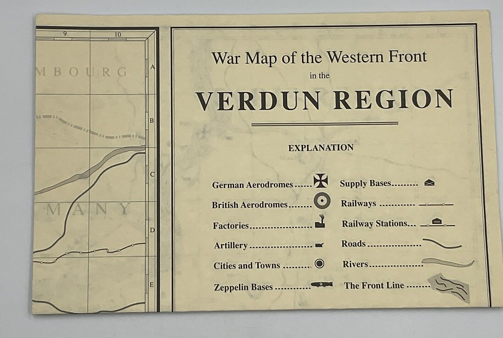
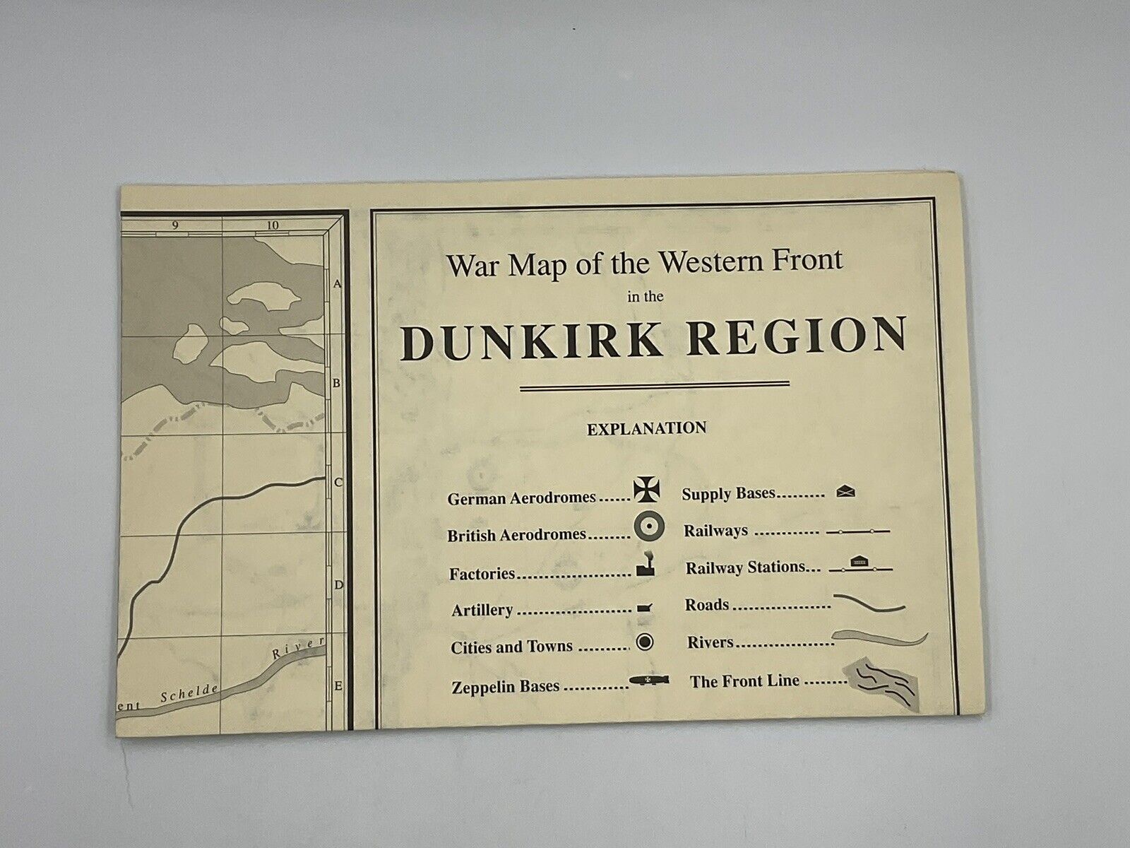
Antique Map Print WW1 Western Front France Ypres Hill Dixmude Arras france
$ 24.3
- Description
- Size Guide
Description
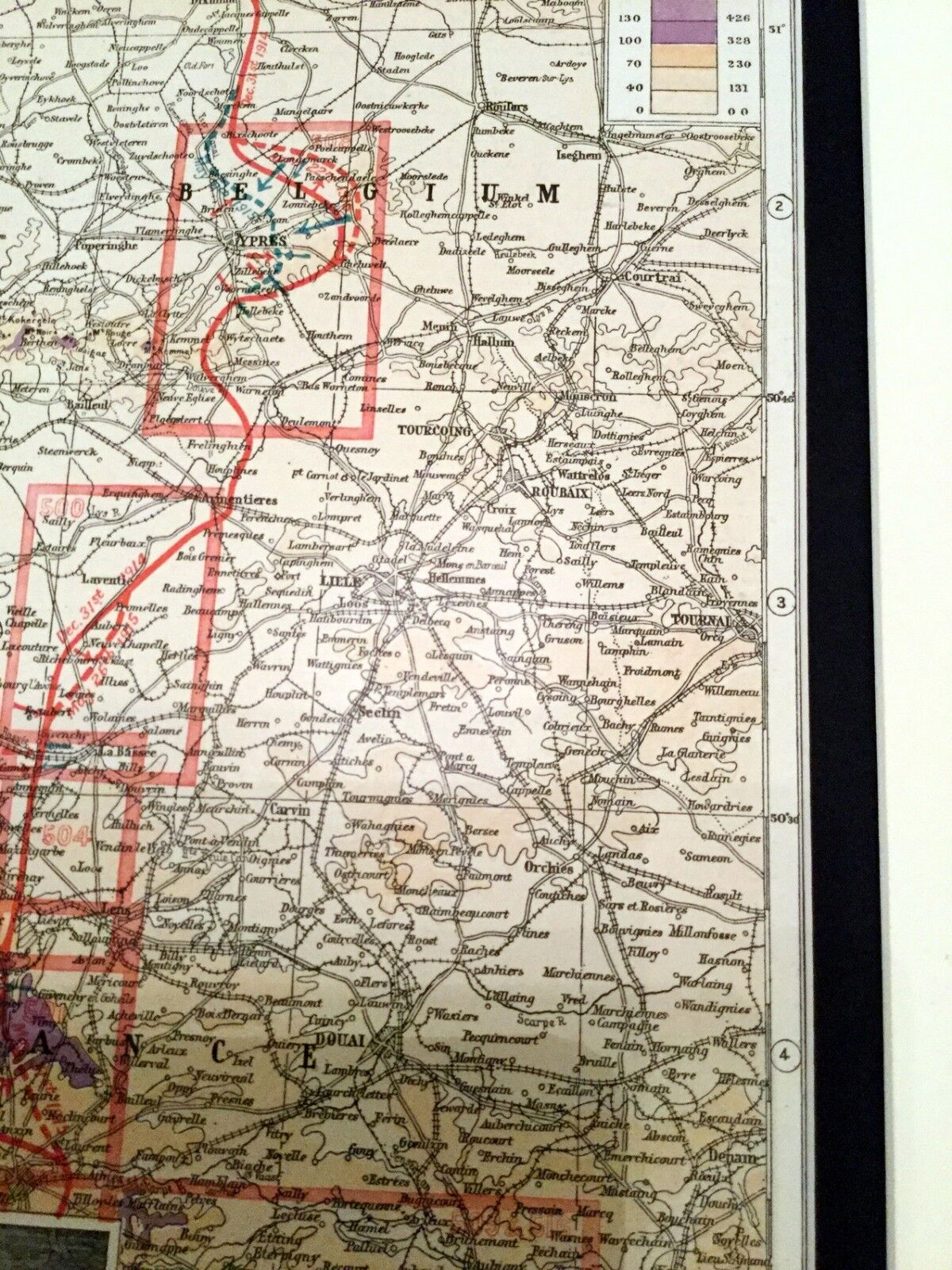
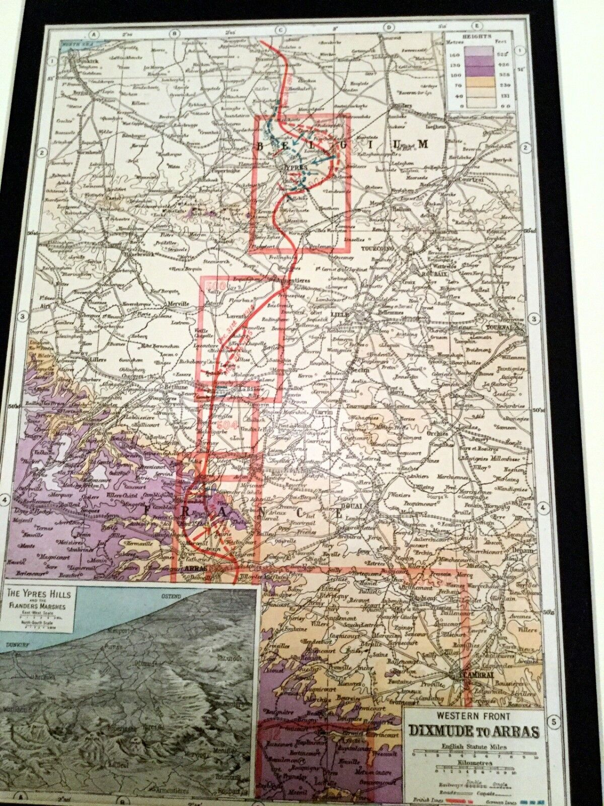
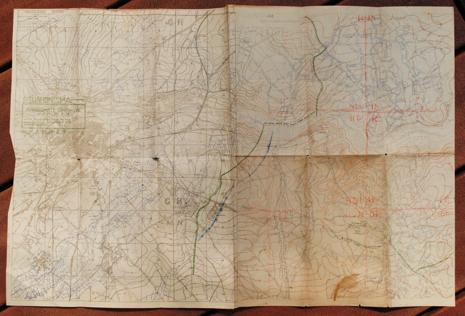
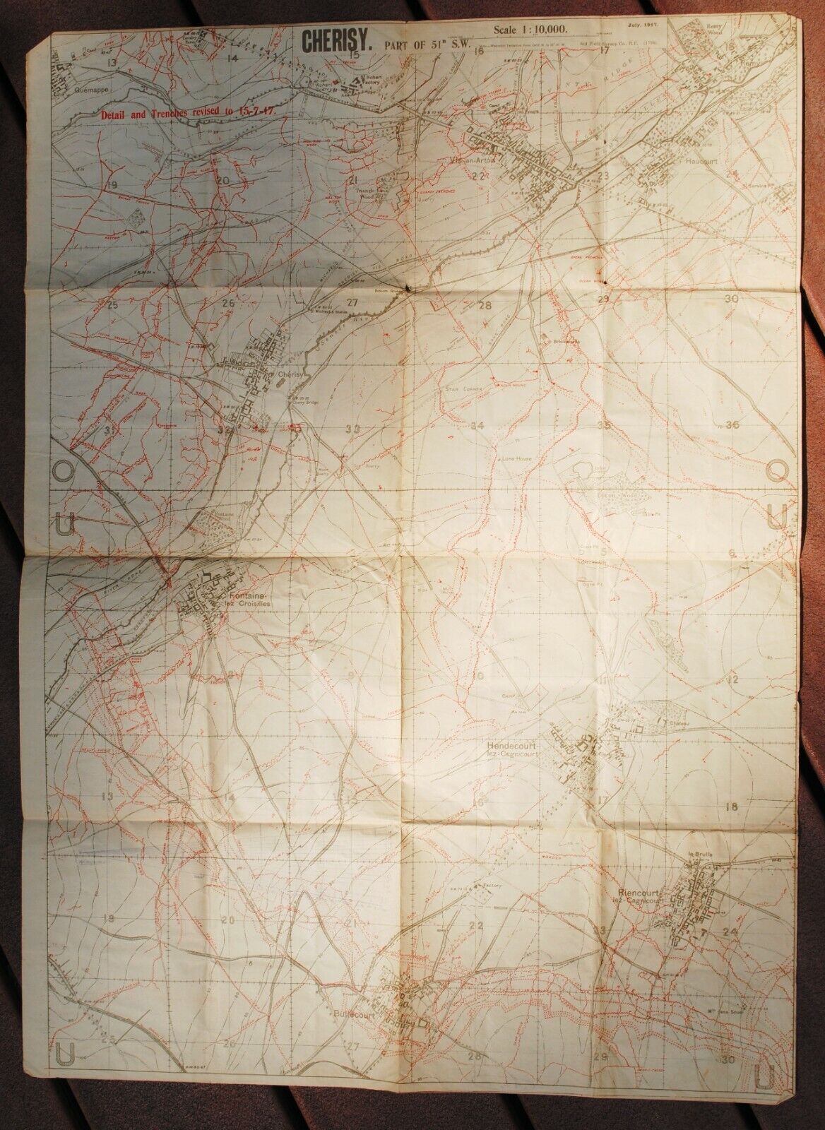
Antique WW1 Map - Western Front Dixmude to ArrasOriginal Map Circa 1920 published by Harmsworth, London, England. As its an old map, there is light yellowing, age marks, and signs of age as per the pictures. You will receive the map pictured, so the photographs are integral to the description and listing. 1000's of other maps listed.
Freshly double mounted and backed, ready for framing.
Approx Size of Map 32cm x 21.5cm
Approx Size of Mount: 41cm x 30cm
Antique WW1 Map - Western Front Dixmude to Arras Original Map Circa 1920 published by Harmsworth, London, England. As its an old map, there is light yellowing, age marks, and signs of age as per the pictures. You will receive the map pictured, so the photographs are integral to the description and listing. 1000's of other maps listed. Freshly double mounted and backed, ready for framing. Approx Size of Map 32cm x 21.5cm Approx Size of Mount: 41cm x 30cm
